XAG workflow
How mapping/scouting runs in the field — from prep to ortho image and SproutMindAI logging.
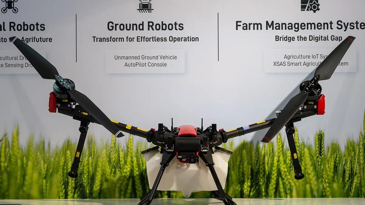
Mapping ≠ spraying. Mapping/scouting yields an ortho image and observations for planning. Spray drones have their own rules (e.g. Tukes) — check permits before use. This is not legal advice.
XAG in Finland. Heavier ag drones are often reached in Finland via Mtech. Not a commercial partnership — just a pointer.
Define the block and goal
Decide what you will image and why: boundaries, drought, crop variation, or repeat monitoring. Log the goal in the field-plot plan before the flight.
Flight preparation
Check weather, line of sight, and safety. Short note: permits and Tukes matter especially for spraying — mapping still needs responsible flying. At your own risk.
Imagery / mapping
Fly an XAG-style mapping or scouting mission. RealTerra-style mapping idea: systematic coverage → ortho image. No made-up tech specs — follow your equipment’s guidance.
Map → observations
Read the ortho: dry patches, weaker crop, wet hollows, fuzzy boundaries. Note observations — do not assume an automatic diagnosis.
Log in the SproutMindAI field plot
Update the moisture note and goals, set the next check (3/7/14 days). From image to decision — the plot plan is home base.
Repeat and compare over time
Repeat imagery through the season. Compare: did stress change, did the crop even out? Monitoring beats a one-off shot.
No live drone link in this version — workflow illustration and planning only.